Client
Wagenbrenner
Location
Columbus, Ohio
Services Provided
Traffic Impact Study
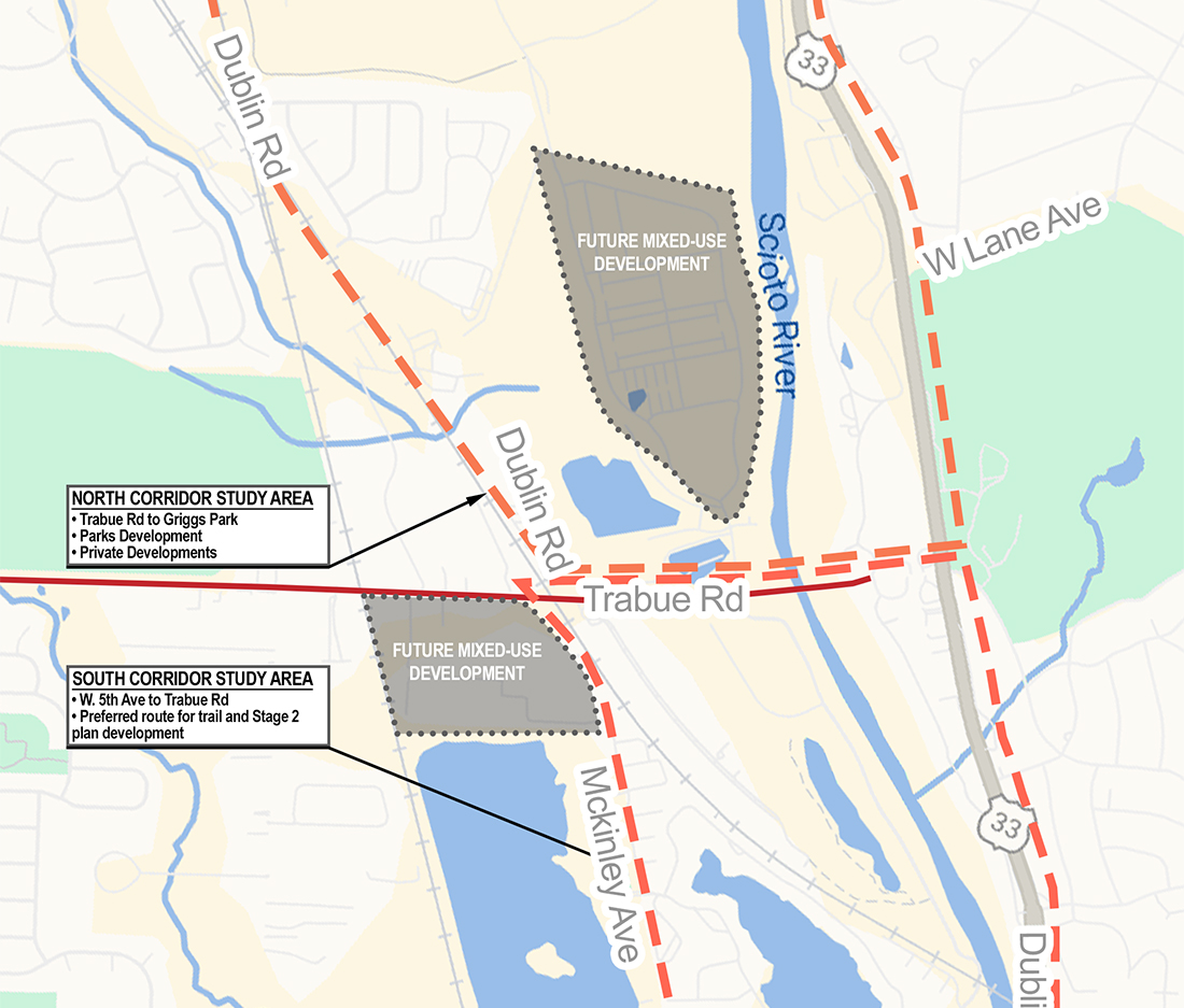
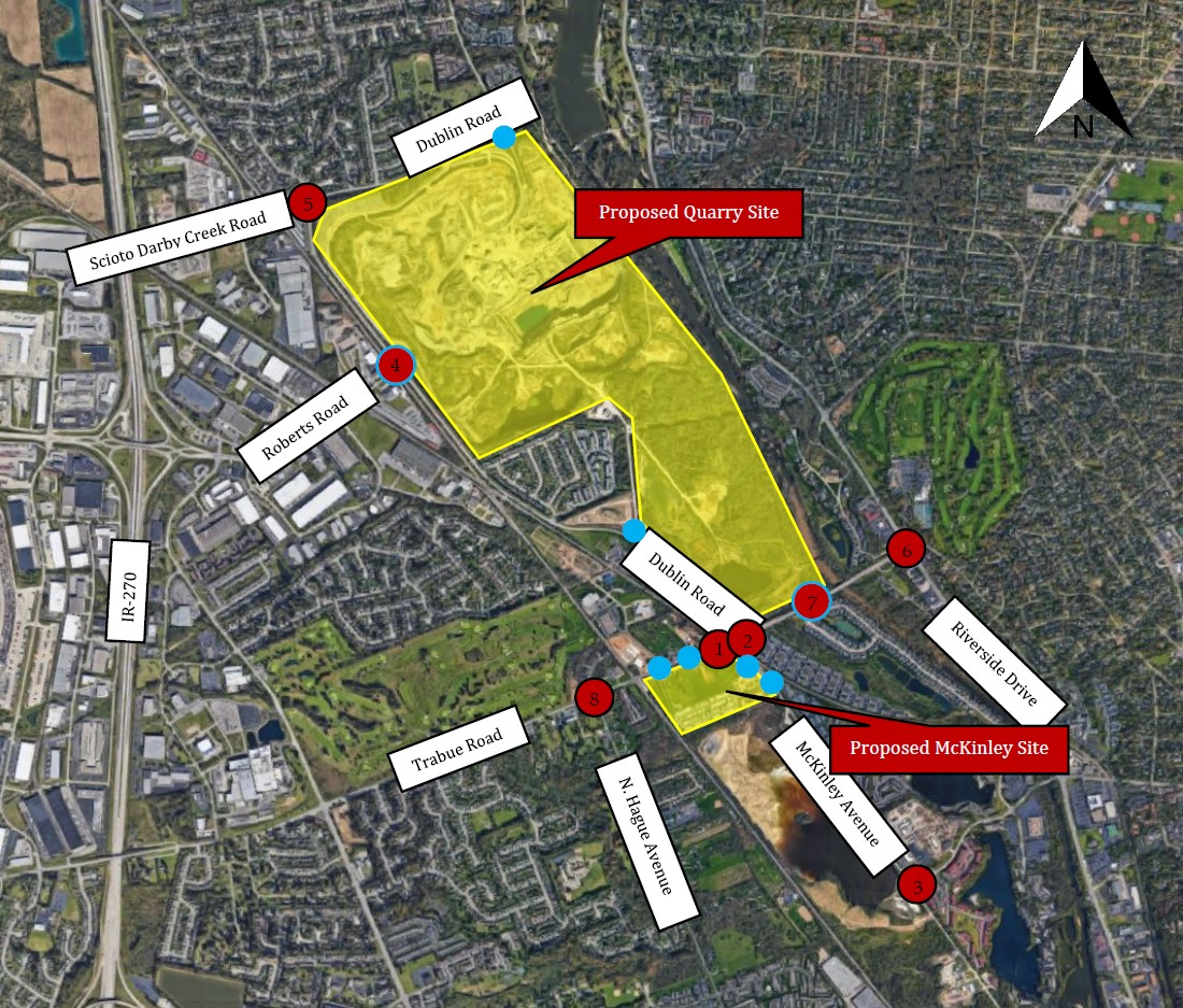
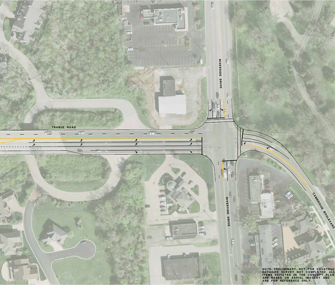
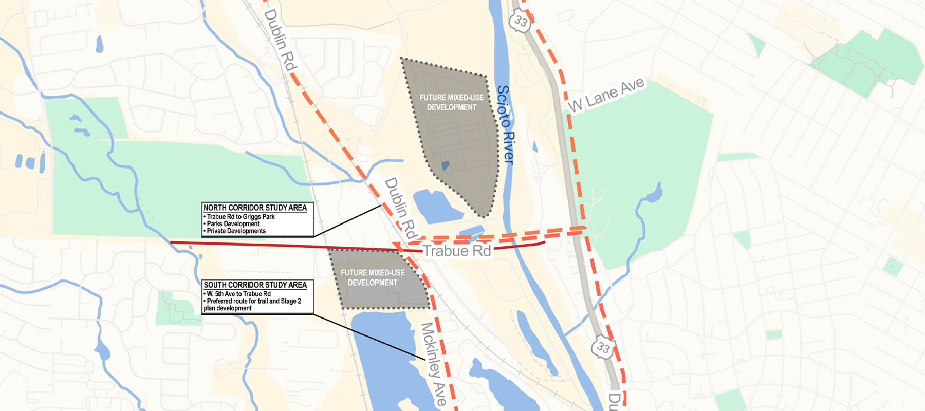
CM was retained by Thrive Development and Preferred Living to conduct a Traffic Impact Study (TIS) covering the proposed Quarry development north of Trabue Road and east of Dublin Road and the proposed McKinley development south of Trabue Road and west of McKinley Avenue in Columbus, Ohio. The analysis and report are required by the City of Columbus as part of the development approval process. Opening year analysis (currently underway) will evaluate the impacts of the first phase of the Quarry development with a limited study area. Horizon year analysis will evaluate the impacts of the full build out of both the Quarry site development and the McKinley site development with an expanded study area. The Quarry site is proposed to develop into single family homes, multifamily homes, office, retail, restaurants, and a public park. The McKinley site is proposed to develop into multifamily homes and retail. A total of eight off-site intersections and six site drive intersections are included for analysis. For analysis, the Phase 1 Quarry development is expected to be constructed in 2021, considered to be the Opening Year. Thus, the Horizon Year for the analysis will be 2031. Growth rates from traffic studies in the surrounding area will be utilized for the Opening Year Phase 1 Quarry Analysis. Horizon Year volumes are expected to be provided by MORPC. Multiple volume scenarios will be developed and analyzed based on the separate alternatives developed in the Trabue Road Regional Corridor Traffic Study. Trips for the proposed site developments were generated using standard Institute of Transportation Engineers practices. Site traffic distributions were developed based on the count data, knowledge of the surrounding area, and engineering judgment. Non-Pass-by and Pass-by site traffic was then added to the No Build traffic to create Build traffic. Turn lane warrant analyses will be conducted at all unsignalized intersections using standard ODOT turn lane warrant graphs. Synchro will be used to analyze capacity and SimTraffic will be used to analyze queueing at all study intersections. A planning level, 8th highest hour signal warrant analysis will be conducted at select study intersections. A report will be produced that includes tables, figures, appendices, etc. This report will document the analysis, results, and recommendations for the public roadway system surrounding the development. These recommendations will be divided into both Build and No Build improvements required to mitigate the anticipated traffic volumes.